When does the point cloud become a real tool for an architect?
The rapid technological advancement in the field of architecture is introducing an array of innovative ways to streamline creative processes, enhance project efficiency and planning. One of the powerful tools is 3D laser scanning technology. In this article, we will discuss how 3D scanning technology has expanded architects’ capabilities and provided them with new tools to interpret and design environments.

Webinar: laser 3scanning’s practical applications in architectural projects
Architects, designers, restorers, and professionals often need precise measurements of object dimensions, altitudes, distances, heights, and spatial data on intricate details and angles. That’s why advanced techniques like laser scanning are invaluable. Join our webinar on September 12th at 9:30 am to dive deep into laser scanning’s applications in architectural work.

BIM in construction: does knowing the actual situation prevent errors?
The conference organized by “Verslo Žinios” delved into critical aspects of the construction industry, shedding light on cutting-edge technologies and methodologies. Notably, the integration of BIM (Building Information Model) solutions emerged as a pivotal topic.

Quick and accurate 3D measurement of a vast underground stormwater system
Discover how Terra Modus tackled the challenge of measuring the largest stormwater system in Lithuania. Conventional methods would have taken 5 years, but by using high-end laser scanners, bespoke hardware and their own software Undet, they were able to overcome numerous technical challenges, including limited access to the manholes and new method of georeferencing.

Laser scanning: when 5 centimeters matter
When a complex government reconstruction project required a complete 3D model, Terra Modus, a company pioneering reality capture in Lithuania, used a combination of Trimble laser scanning technologies to save valuable time. The resulting pre- and post-construction 3D model was critical in helping identify design problems and significant discrepancies in the as-built construction, also providing an as-built of the new exterior to use for future maintenance and operations.

Utilizing artificial intelligence in preparing measurement documentation for industrial objects
Measuring in industrial spaces is particularly challenging due to non-standardized internal equipment, resulting in individualized measurements in each case. This niche requires measurement solutions with new functionalities (e.g., quality control of processed measurement data, drone-based scanning, CAD data conversion to BIM, etc.).

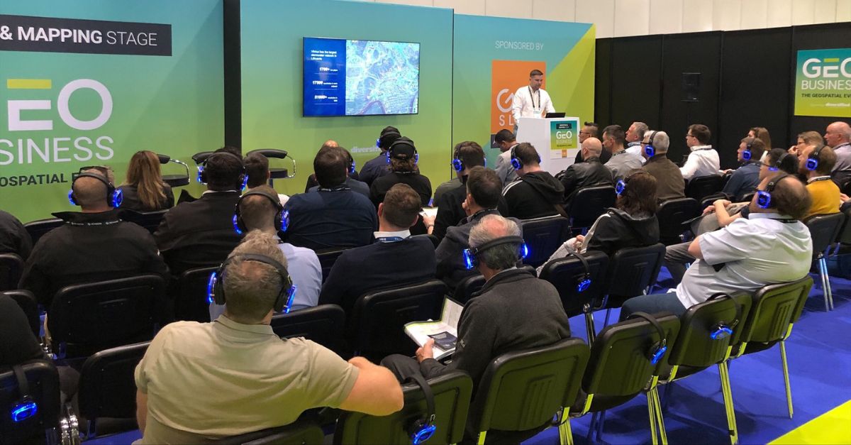
Participation in international exhibitions
UAB “Terra Modus” successfully continues the search for foreign business partners and export development by presenting its products at international exhibitions abroad. In target export markets, potential customers are introduced to the innovative and competitive “Undet” services.