
Industry engineering
Civil infrastructure
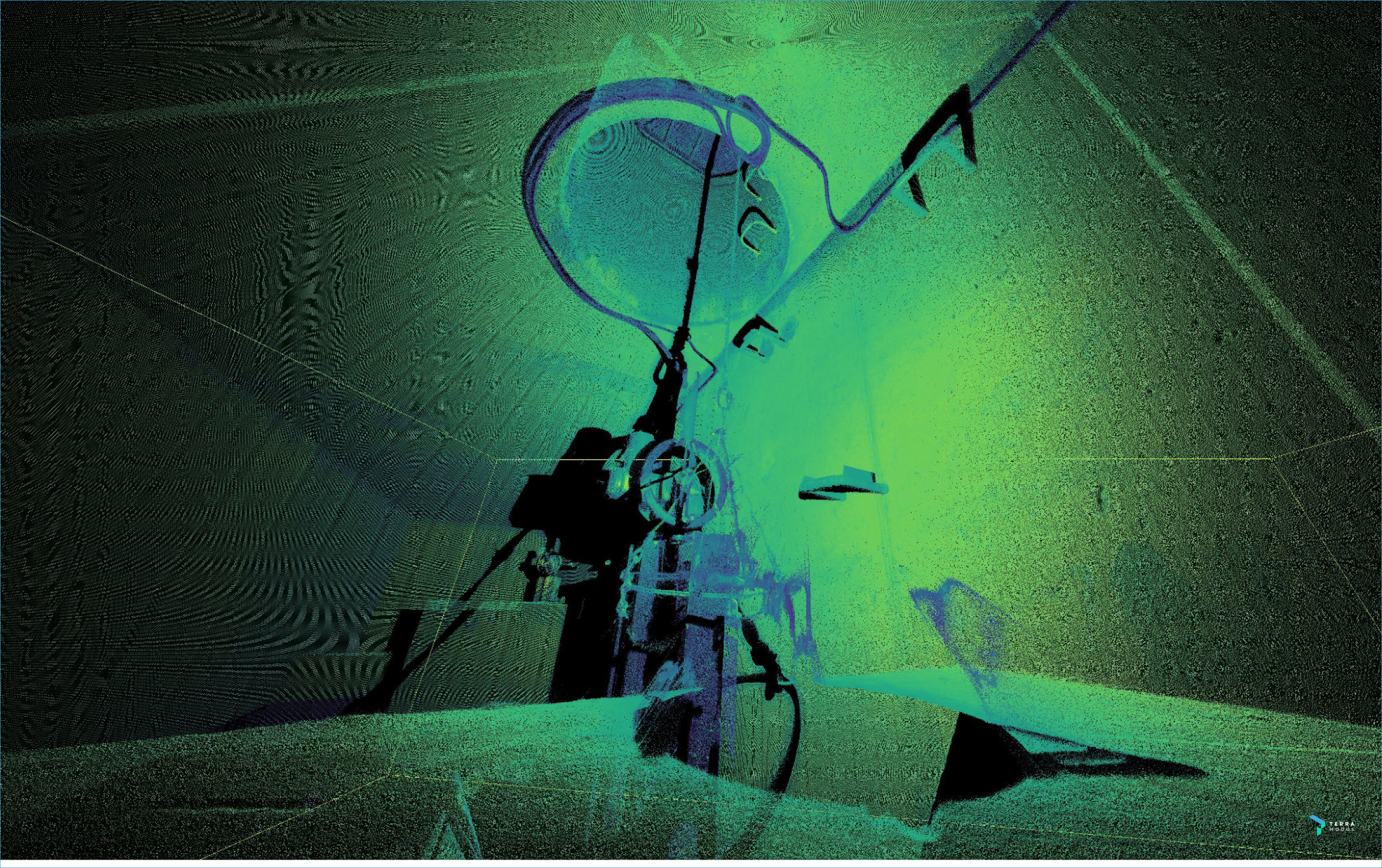
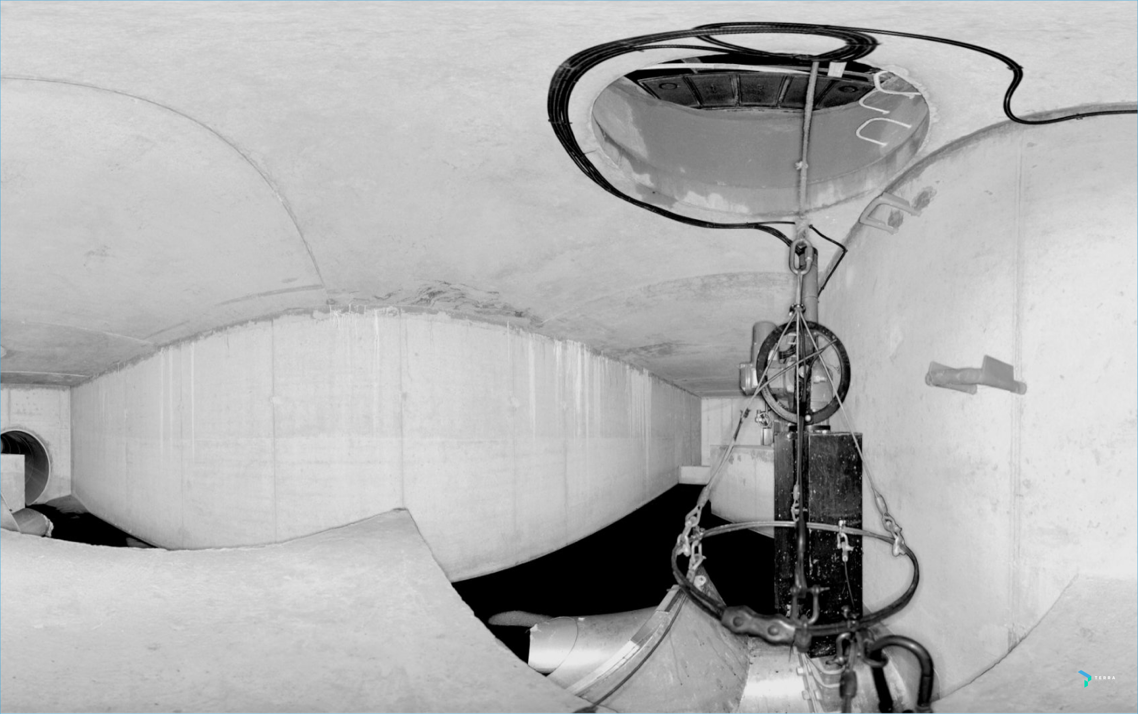
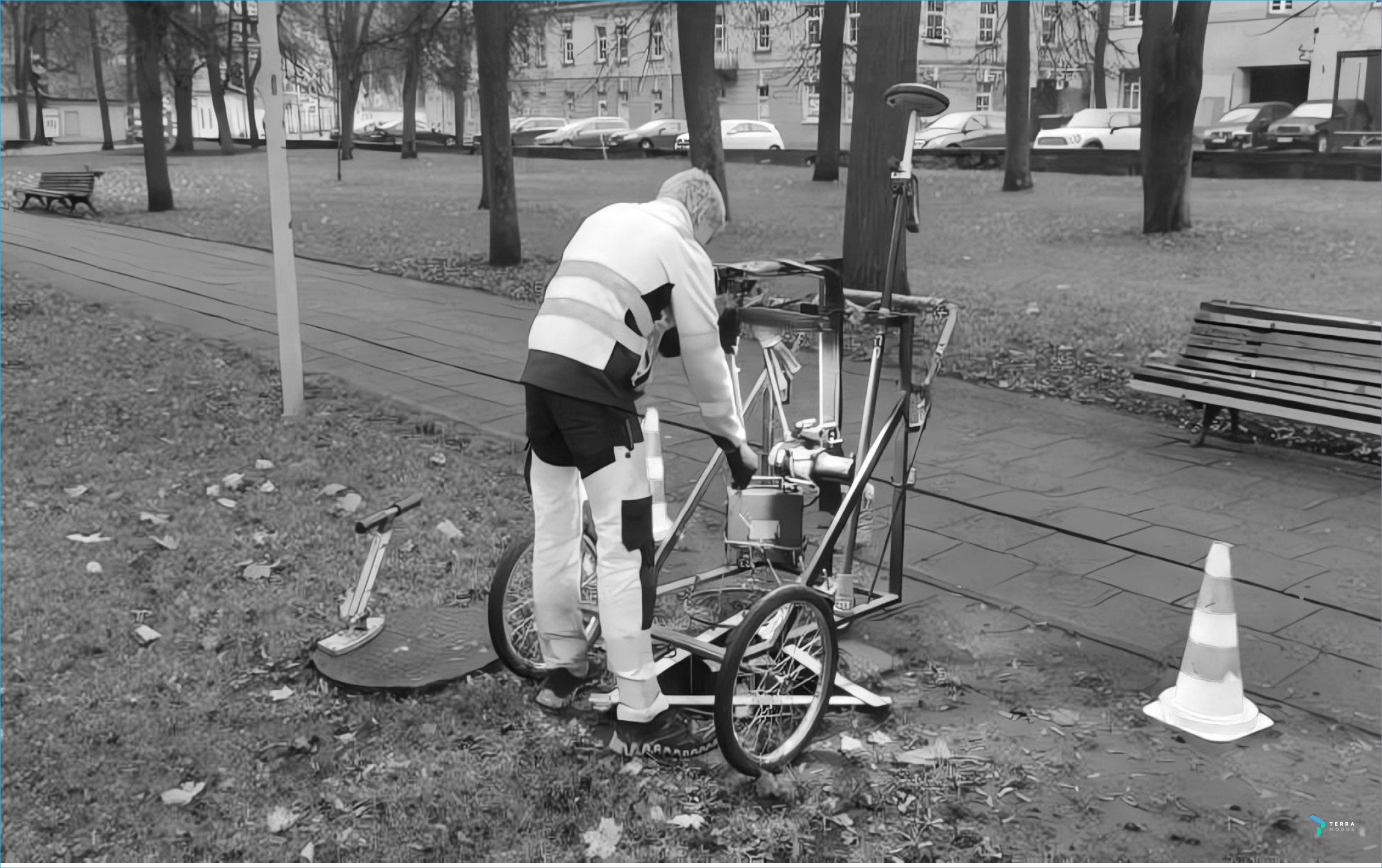
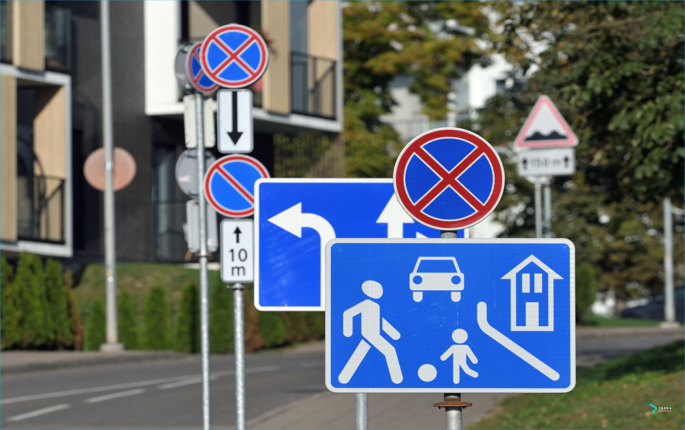
Efficiently inventory and plan maintenance and operational tasks. 3D laser scanning data is highly versatile and can be applied to various infrastructure projects. Precisely scanning and documenting existing infrastructure – including bridges, viaducts, tunnels, road signs, as well as utilities in the energy sector and water treatment – proves invaluable for municipal enterprises in their preparation for digitalization projects
Kitos paslaugos
NEWS
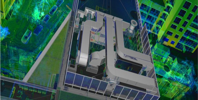
3D laser scanning is a guarantee of accuracy in construction projects
3D laser scanning technology is one of the most effective tools available to help increase…
More

When does the point cloud become a real tool for an architect?
The rapid technological advancement in the field of architecture is introducing an array of innovative…
More

Webinar: laser 3scanning’s practical applications in architectural projects
Architects, designers, restorers, and professionals from various fields often encounter the need for precise measurements…
More
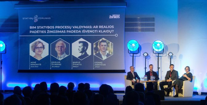
BIM in construction: does knowing the actual situation prevent errors?
The conference organized by “Verslo Žinios” delved into critical aspects of the construction industry, shedding…
More
Quick and accurate 3D measurement of a vast underground stormwater system
Stormwater management is a job that is invisible to the naked eye, the importance of…
More
Laser scanning: when 5 centimeters matter
Background The previous home of the Institute of Geology in Vilnius, Lithuania, was set…
More

CONTACT US
Considering delving into the world of laser scanning data, but not sure where to begin?
With experience dating back to 2007, our knowledge enables us to customize even the most advanced technologies to meet the unique needs of each client.
Contact form